
 D
D
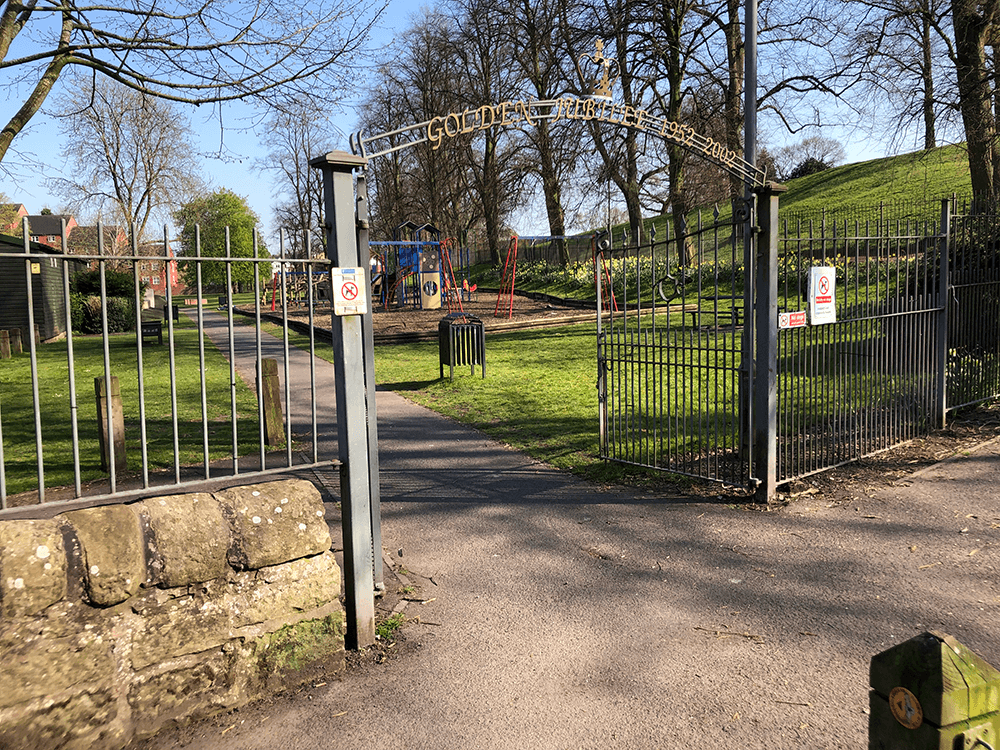
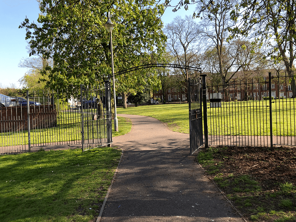
Leave the car park (end of the Sandstone Trail) and walk through Jubilee Park
 E
E
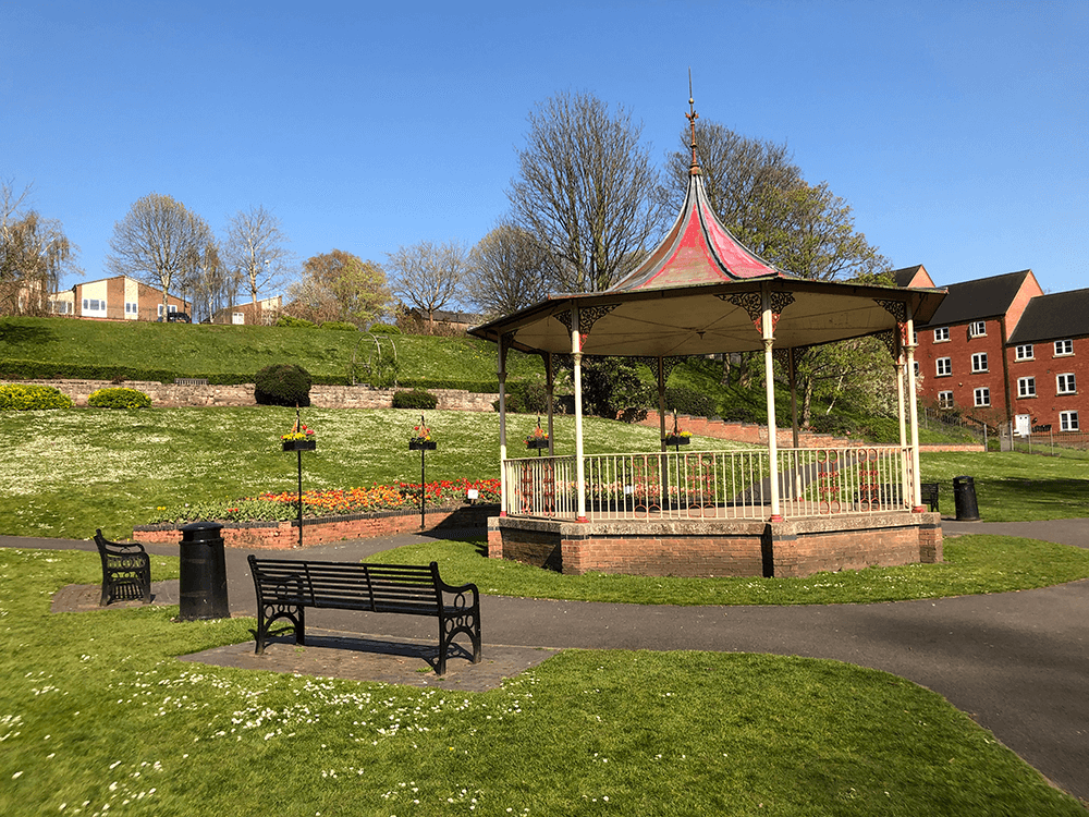
Round the lovely band stand
 F
F
 G
G
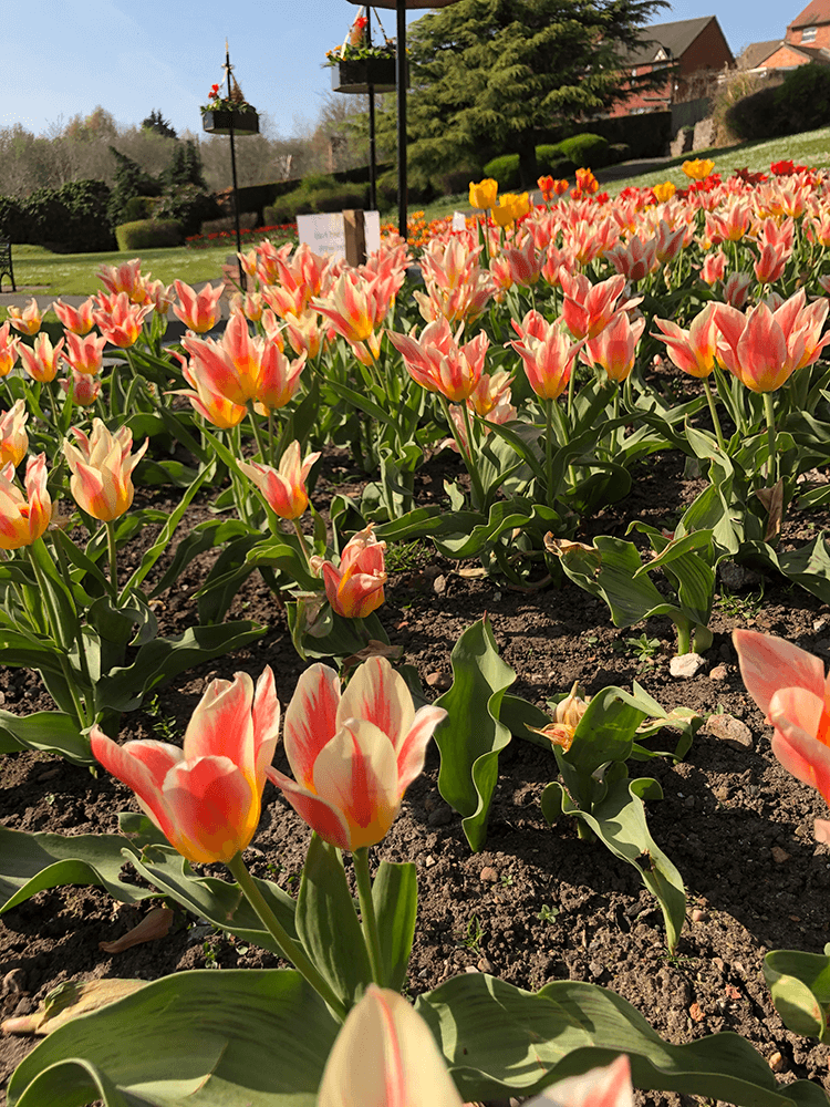
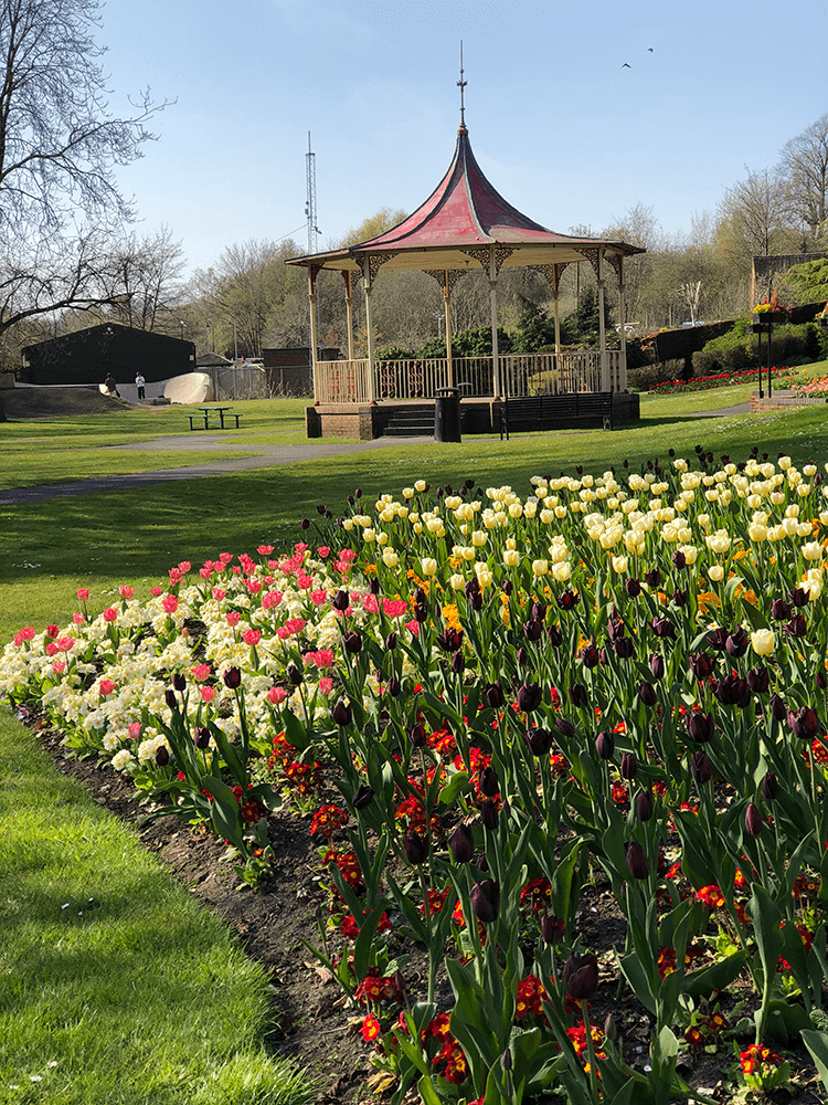
With its spectacular display of tulips
 H
H
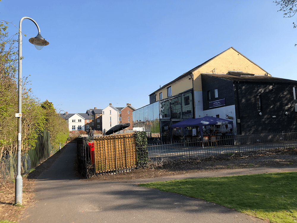
Leave the park here
 I
I
Keep the restaurant on your right
 J
J
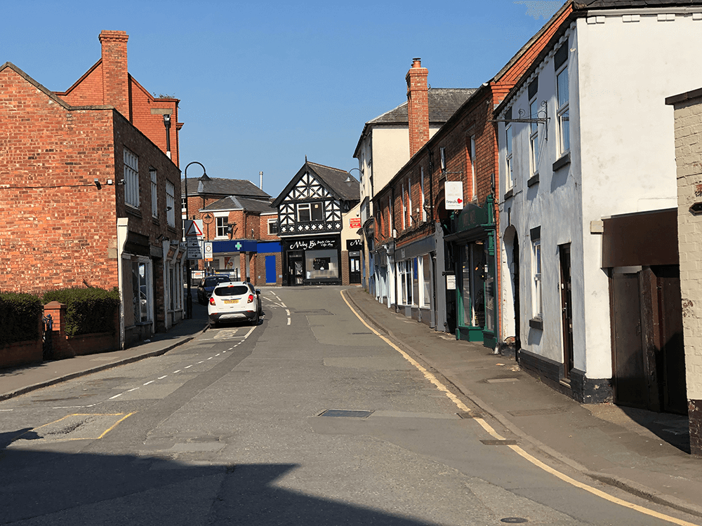
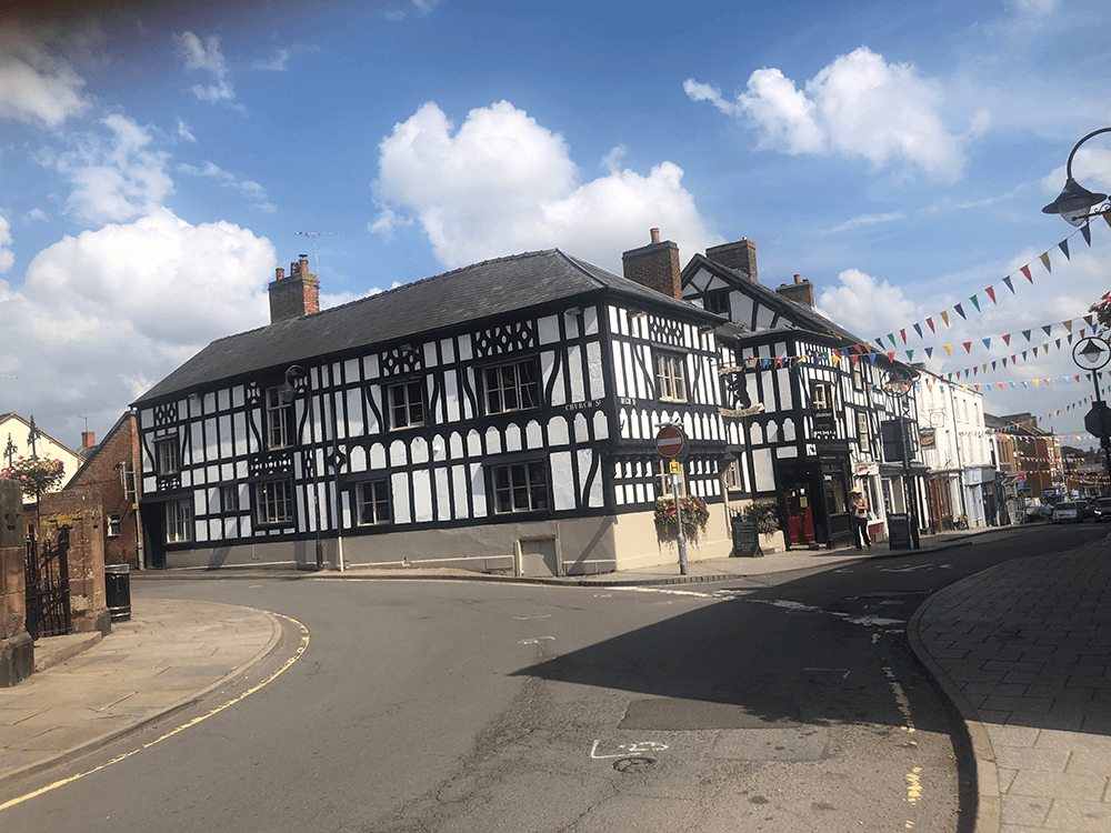
Up Mill Street
 K
K
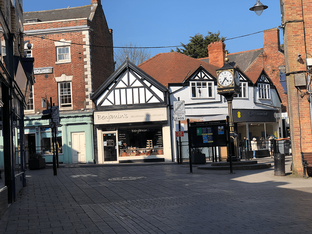
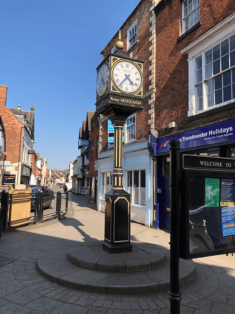
Left at the clock
 L
L
 M
M
 N
N
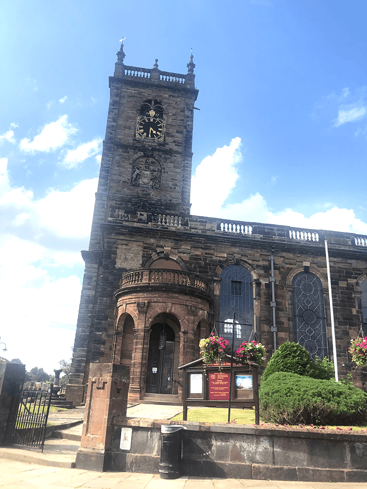
St Alkmund’s Church
 O
O
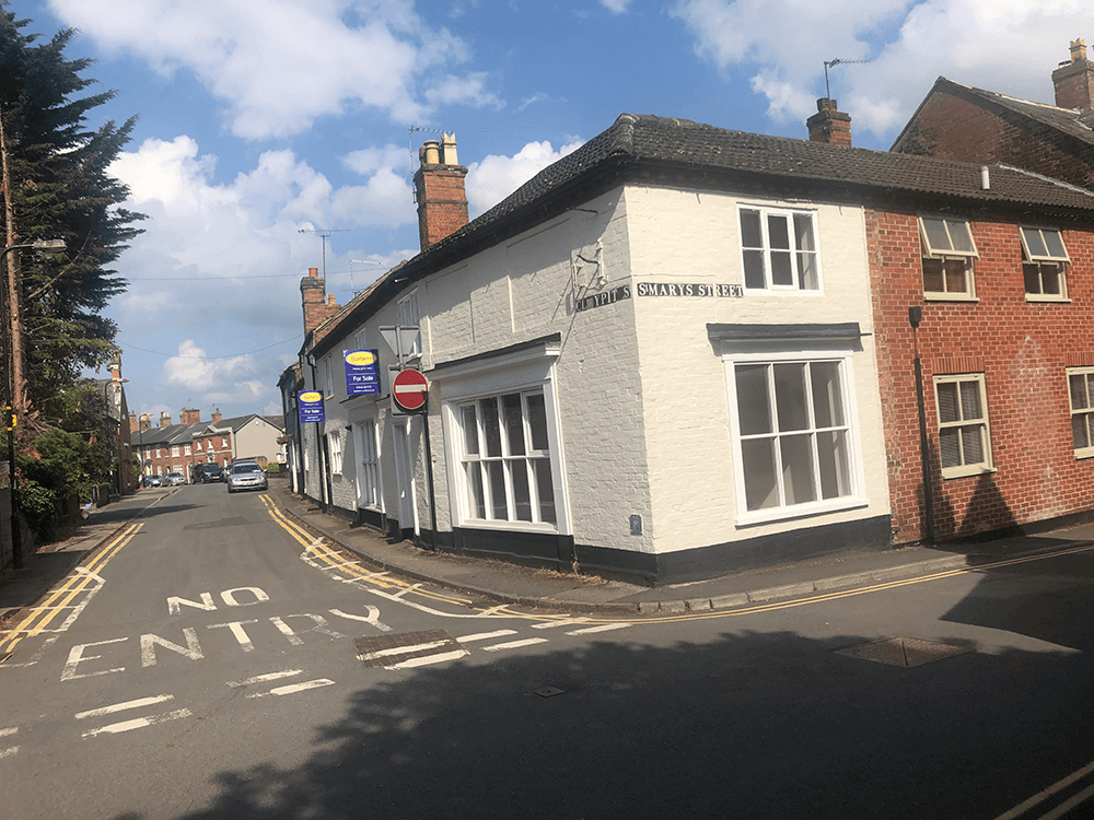
Claypit Street
 A
A
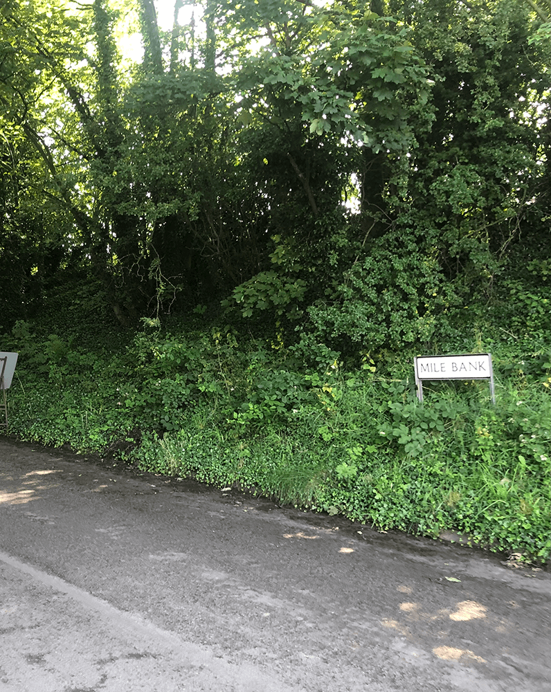
Alport Street leads into Mile Bank
 B
B
Right here to begin cross country and the link
 C
C
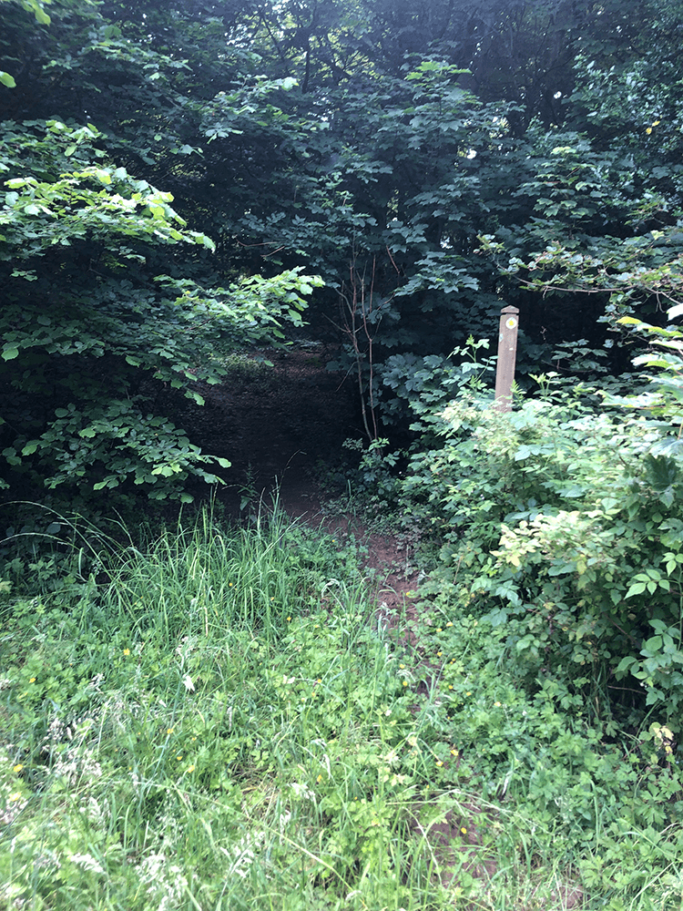
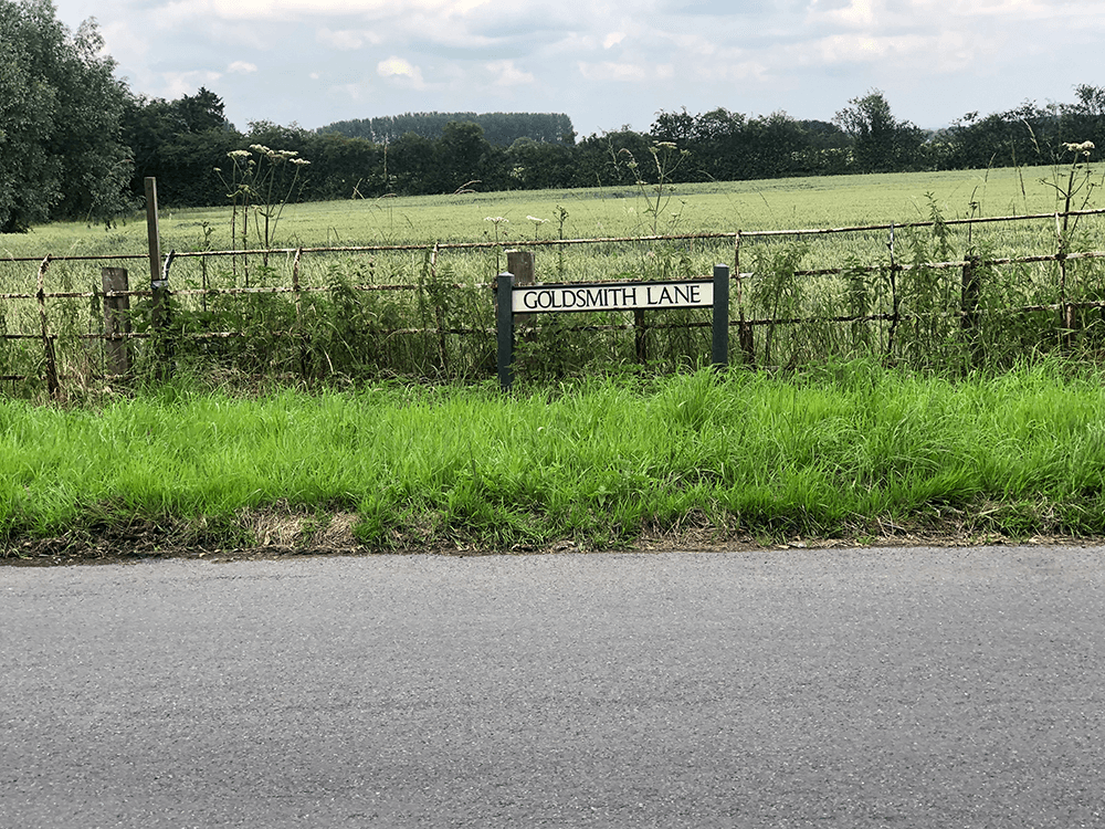
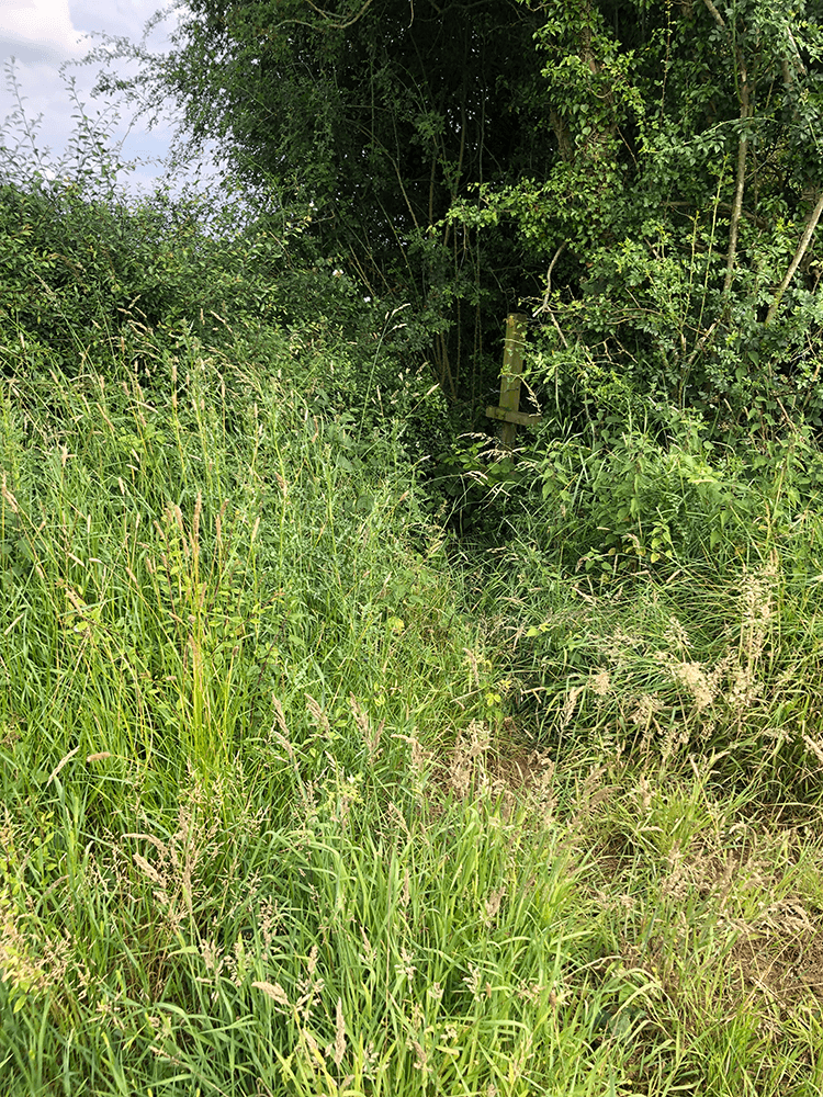
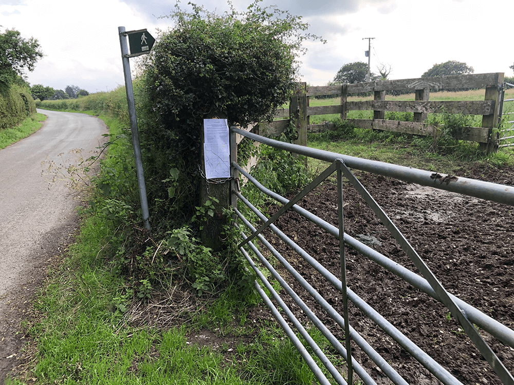
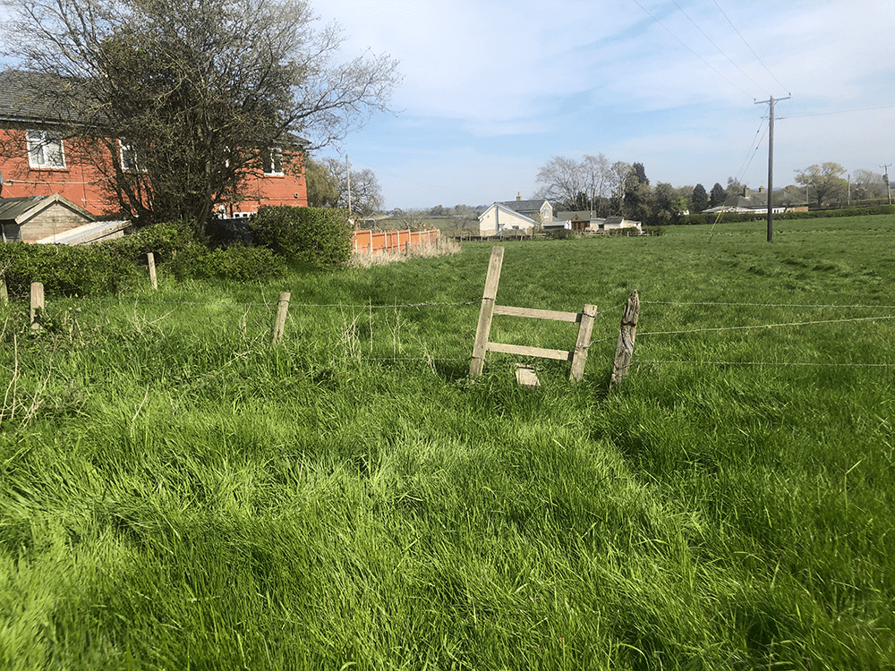
No sign here (yet!) with care
 A
A
 B
B
Brick Kiln Farm
 C
C
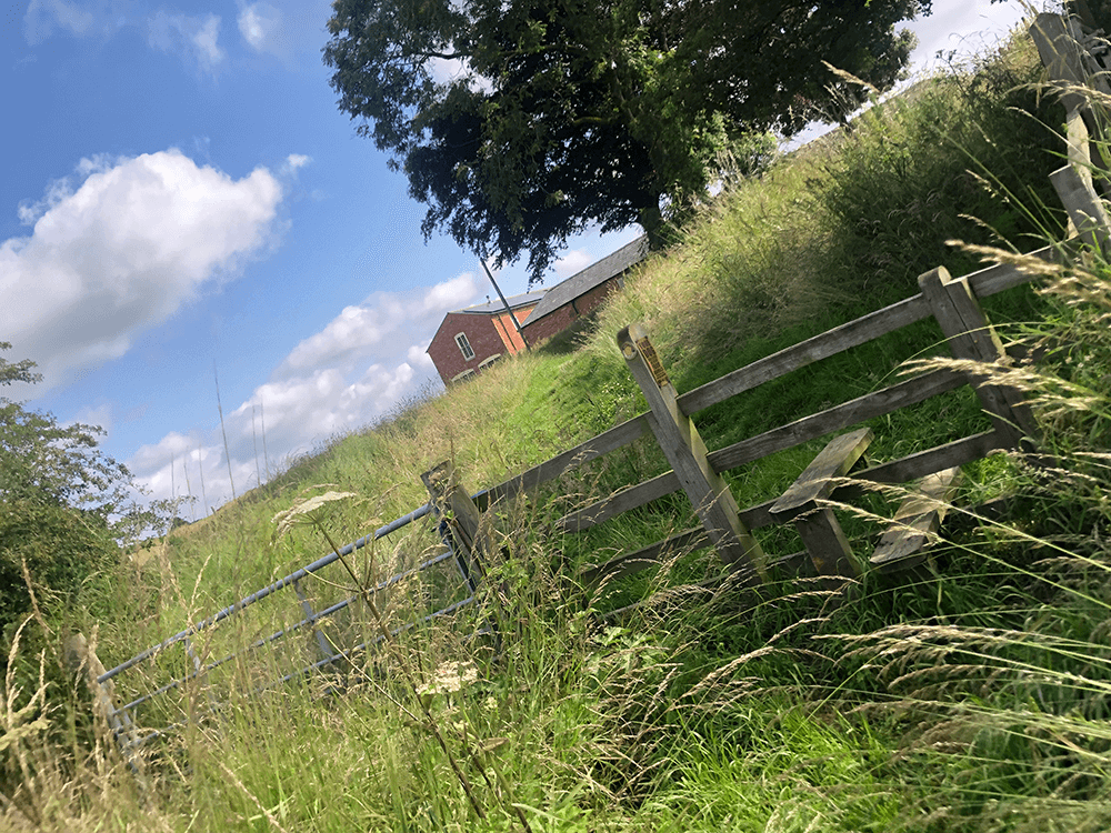
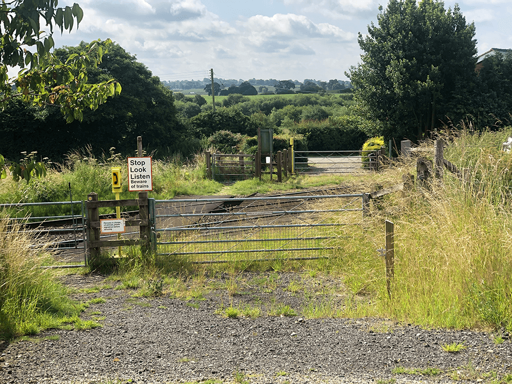
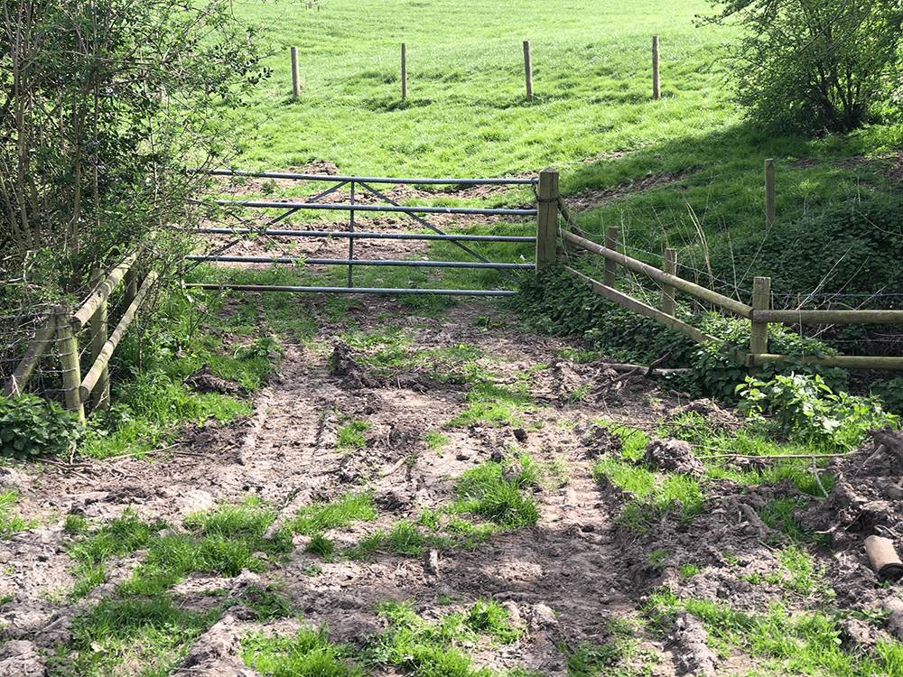
Care rail crossing on to Black Park Road
 D
D
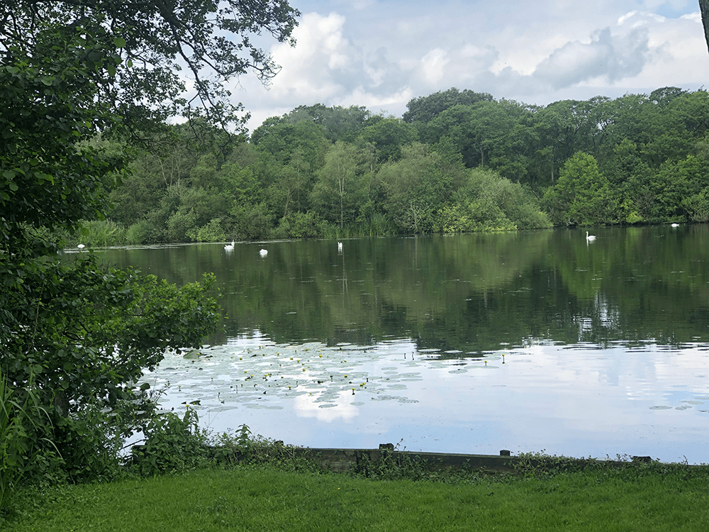
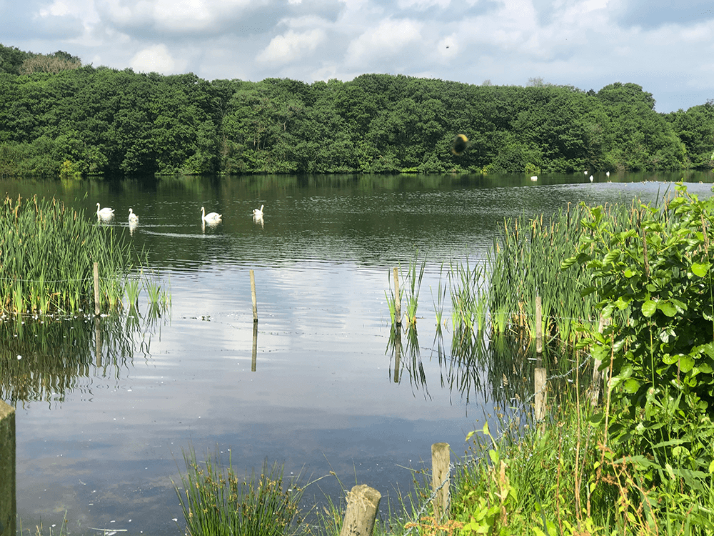
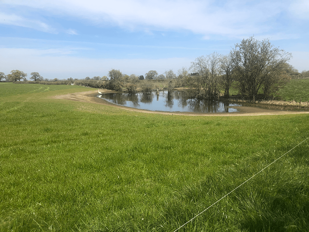
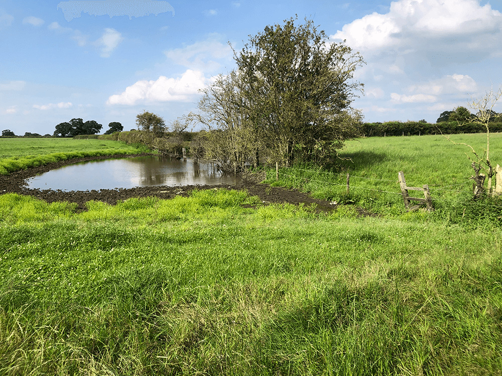
Oss Mere ahead
 E
E
Oss Mere
 H
H
 I
I
 J
J
Over the road
 K
K
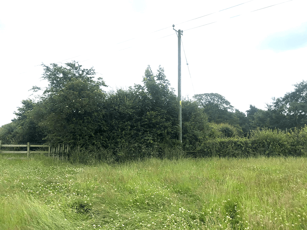
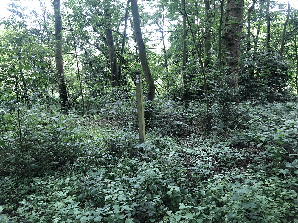
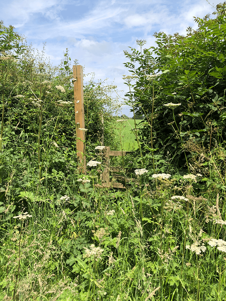
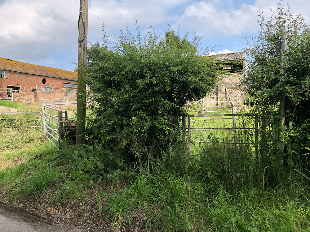
Find this electric pole
 L
L
 A
A
 B
B
 C
C
 D
D
 E
E
 F
F
 G
G
 H
H
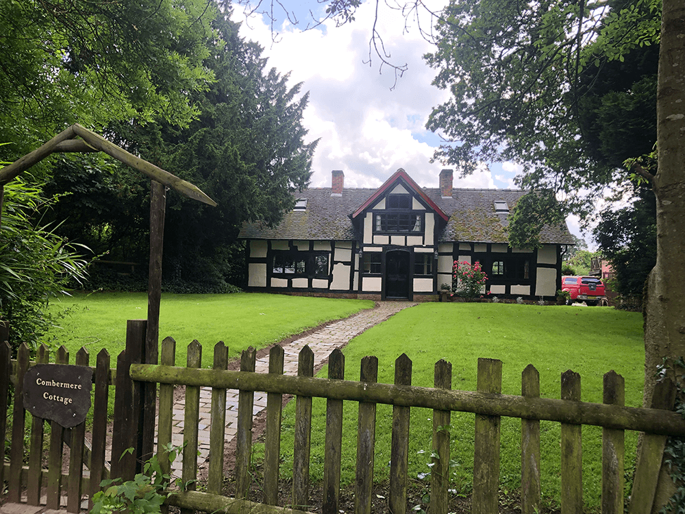
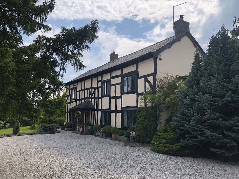
Combermere Cottage
 A
A
 B
B
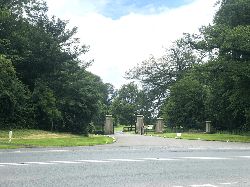
Combermere Park Gates
 C
C
 D
D
A5015
 E
E
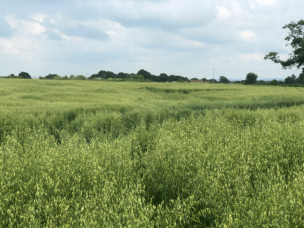
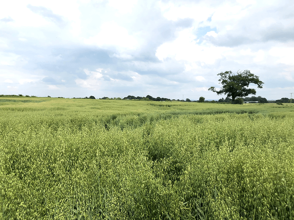
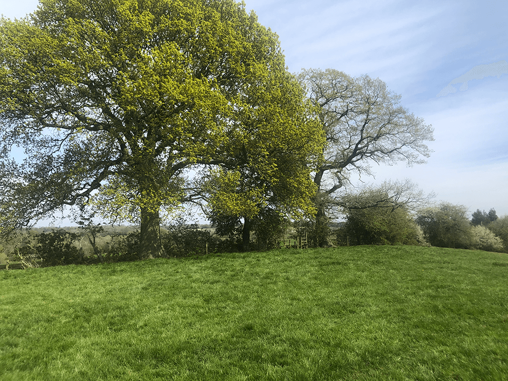
Crops planted but aim for the oak tree!
 F
F
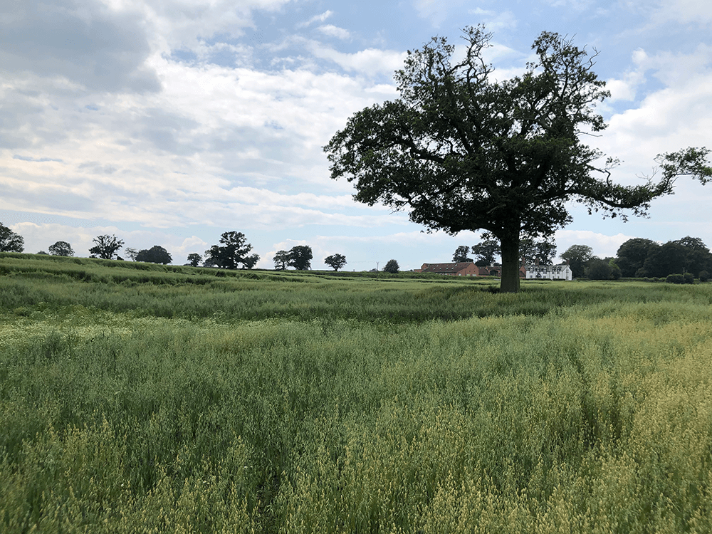
Oak tree
 G
G
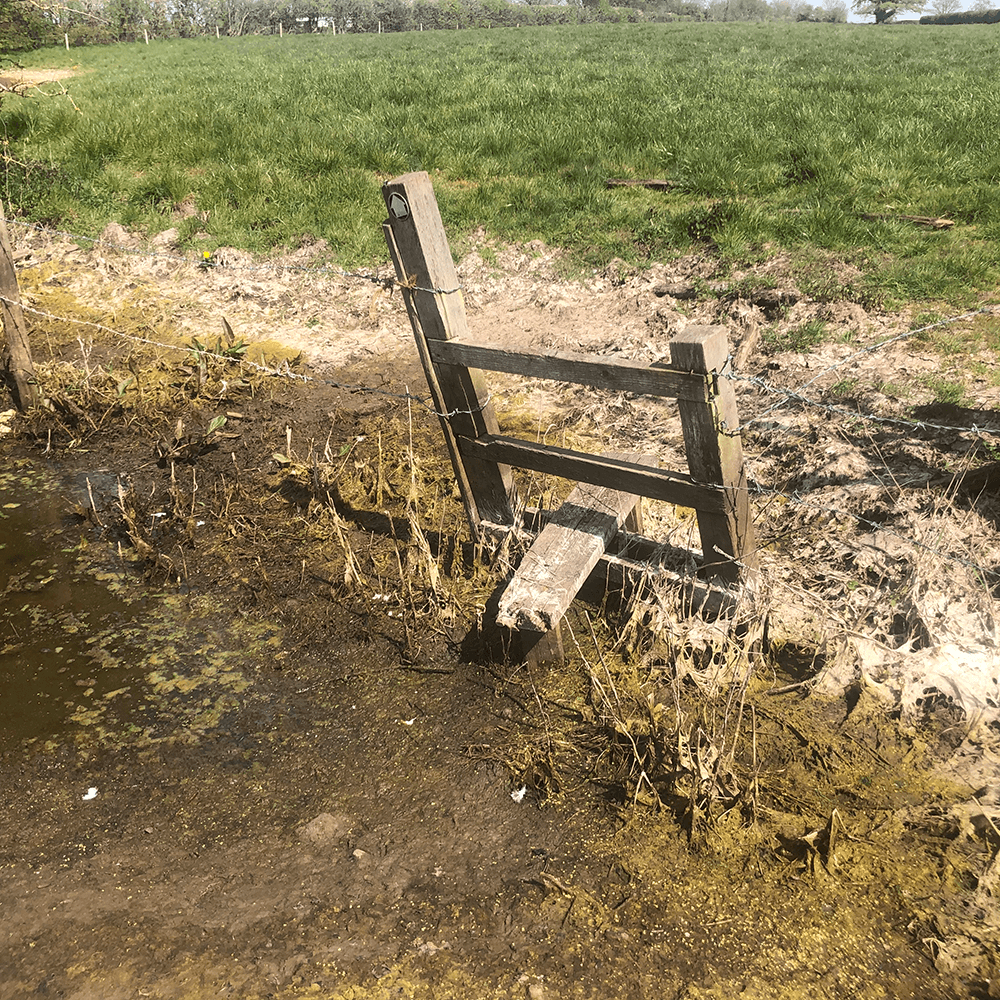
The stile left of tree
 H
H
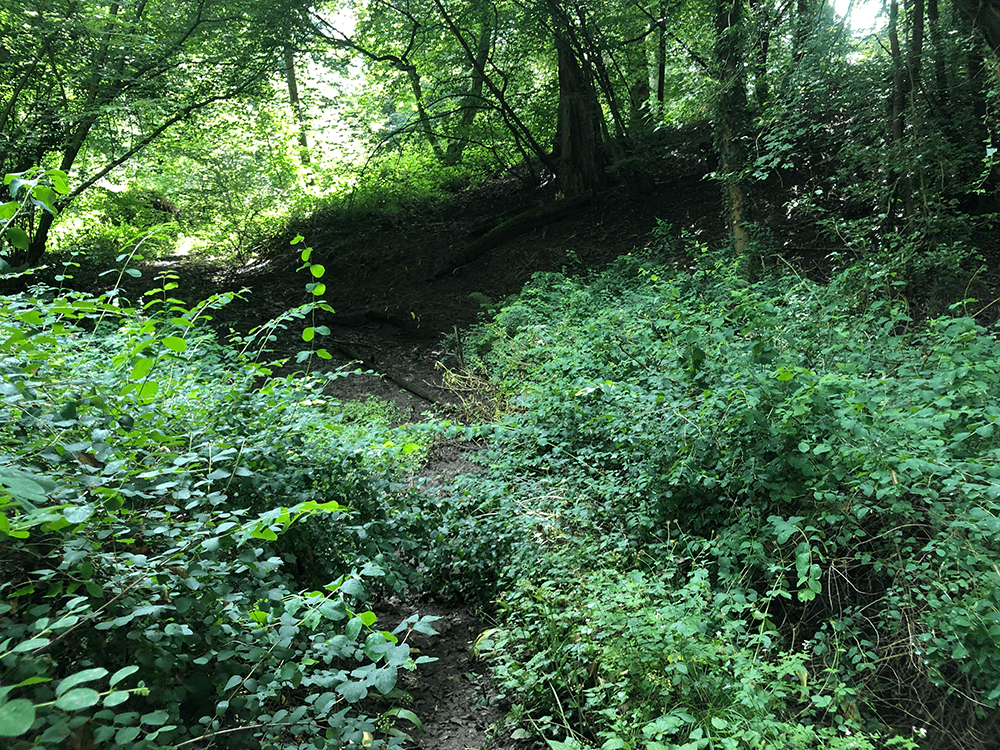
Leave Dodd’s Green Lane
 I
I
Return to Dodd’s Green Lane
 J
J
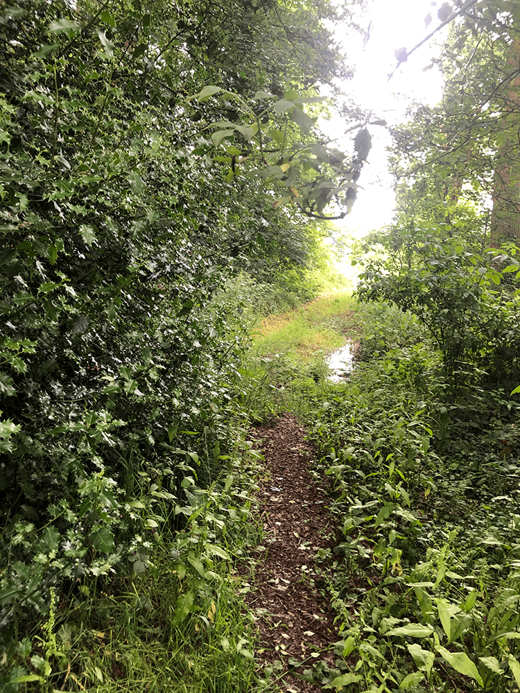
Leave Dodd’s Green Lane again
 K
K
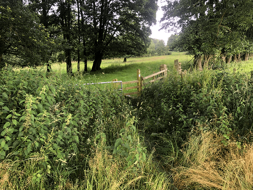
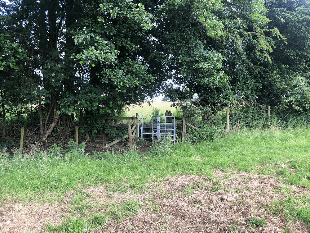
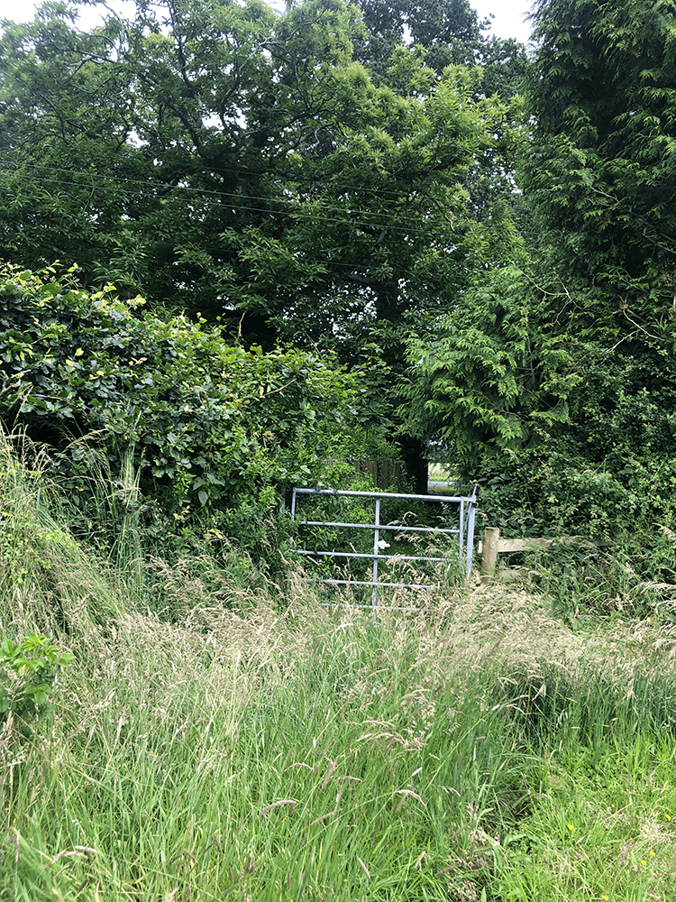
Through this gap
 L
L
 M
M
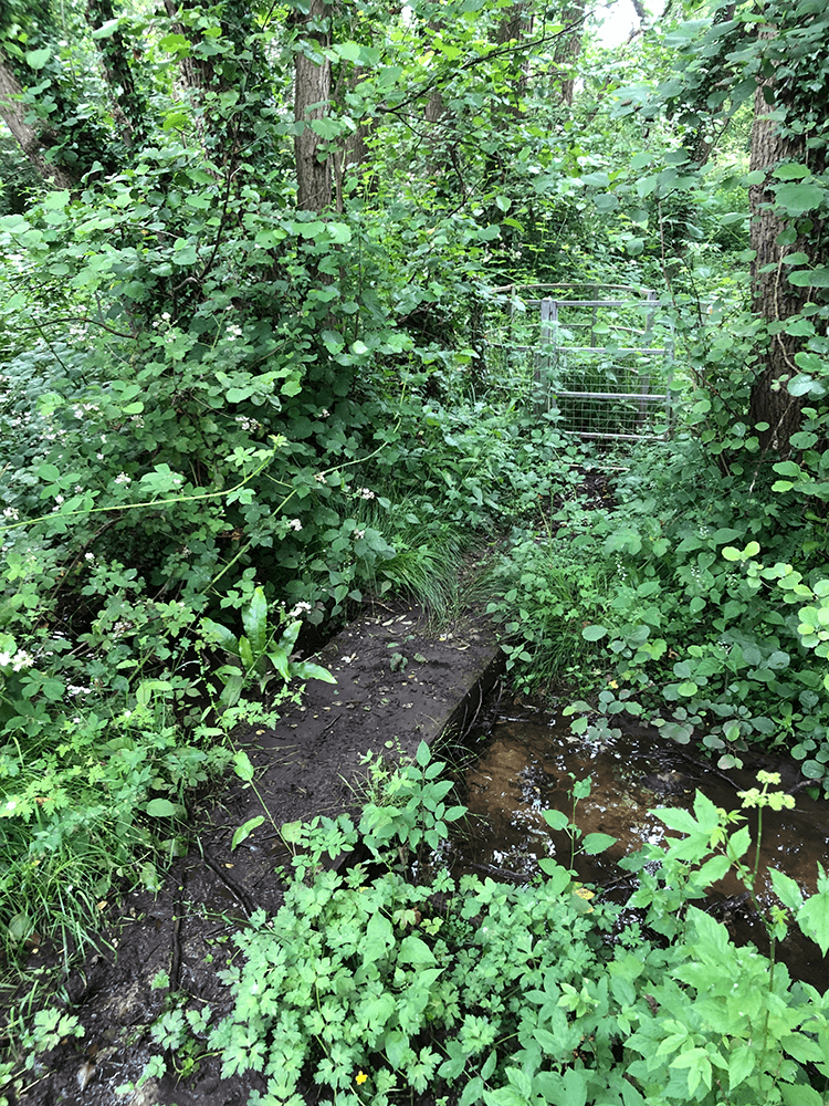
Over Barnet Brook
 N
N
 O
O
 P
P
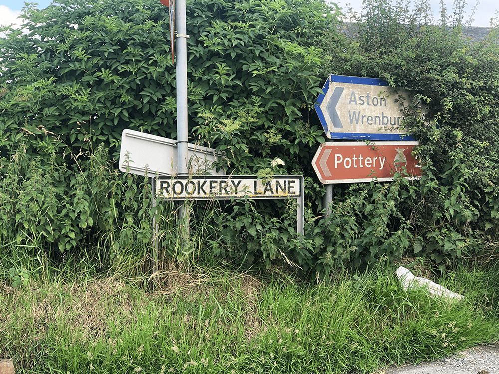
Rookery Lane
 Q
Q
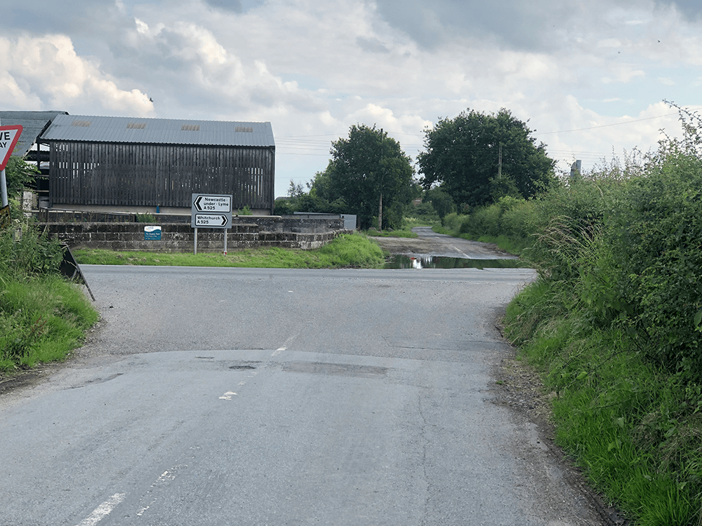
A525 Whitchurch Road
 A
A
Cross the road
 B
B
 C
C
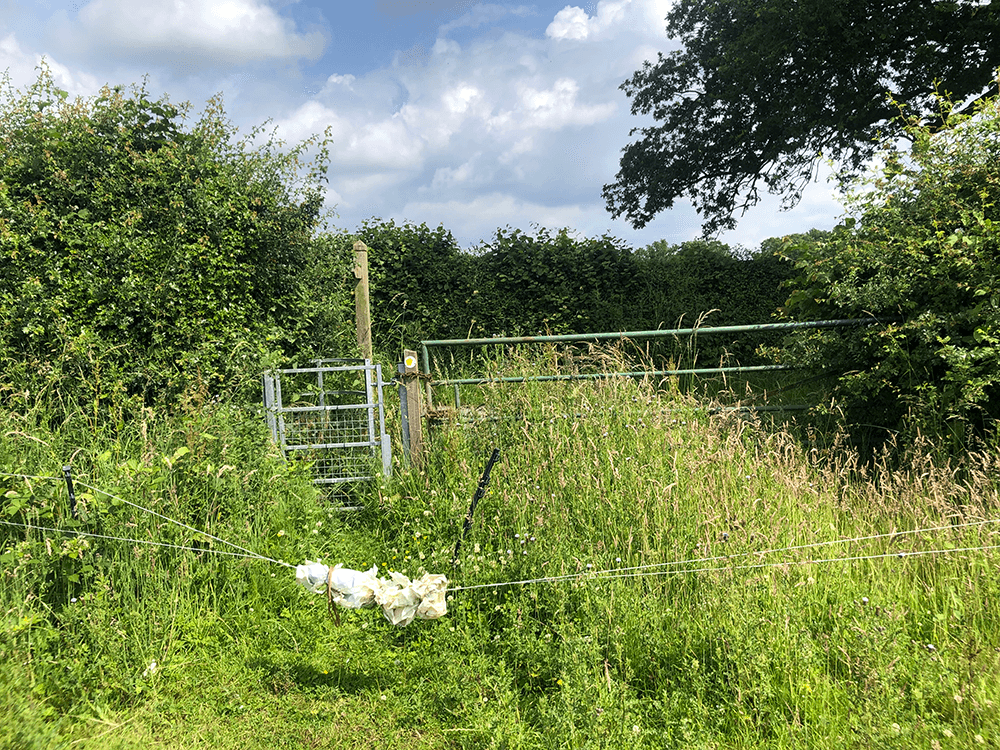
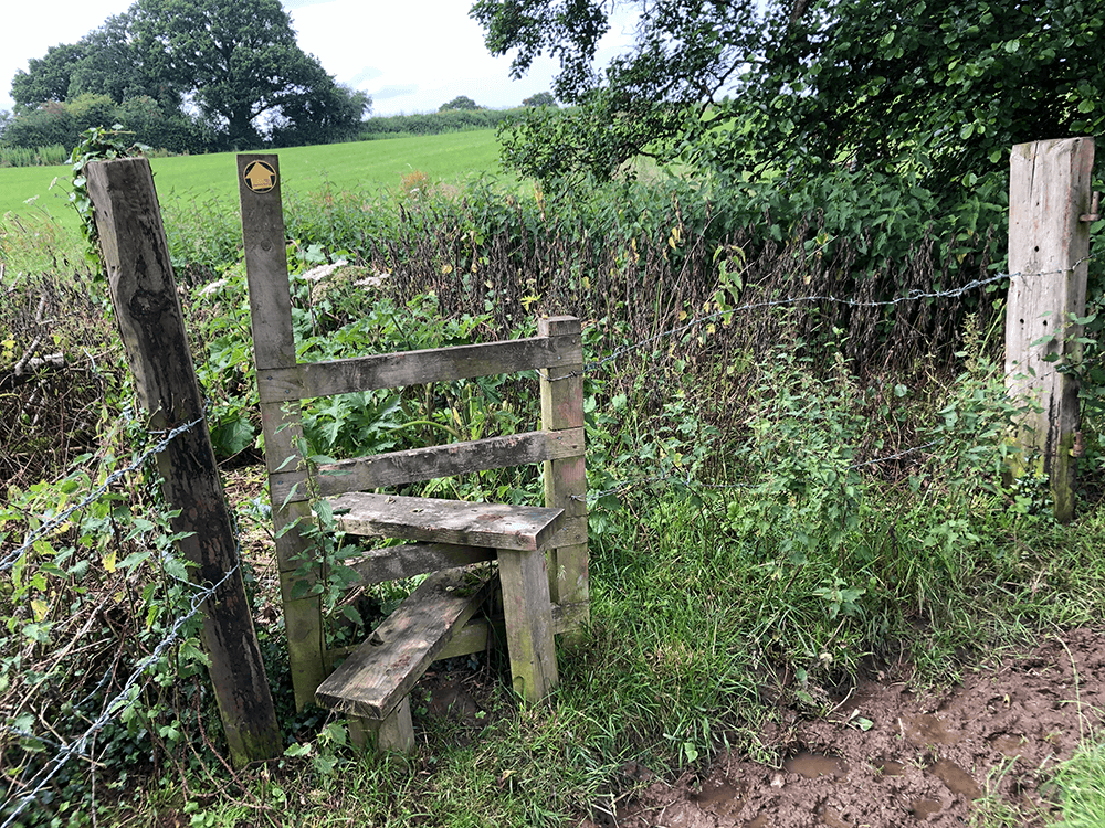
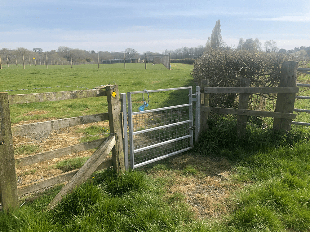
Kissing Gate past Royal’s Green Farm
 D
D
 E
E
 F
F
 G
G
Lightwood Green
 H
H
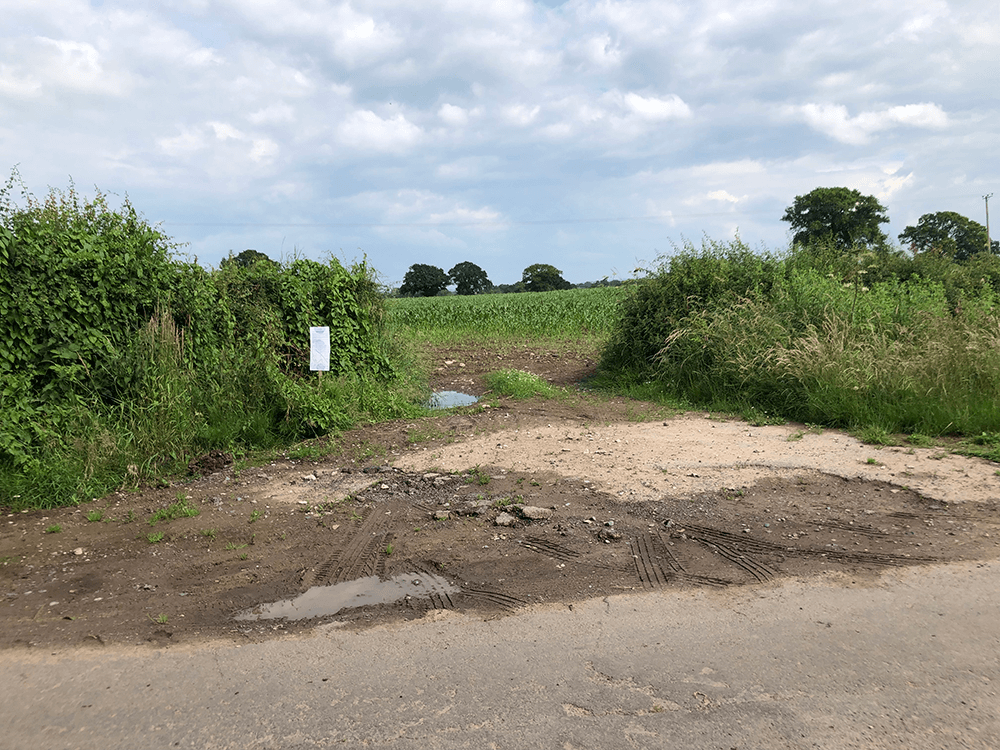
Cross the road
 I
I
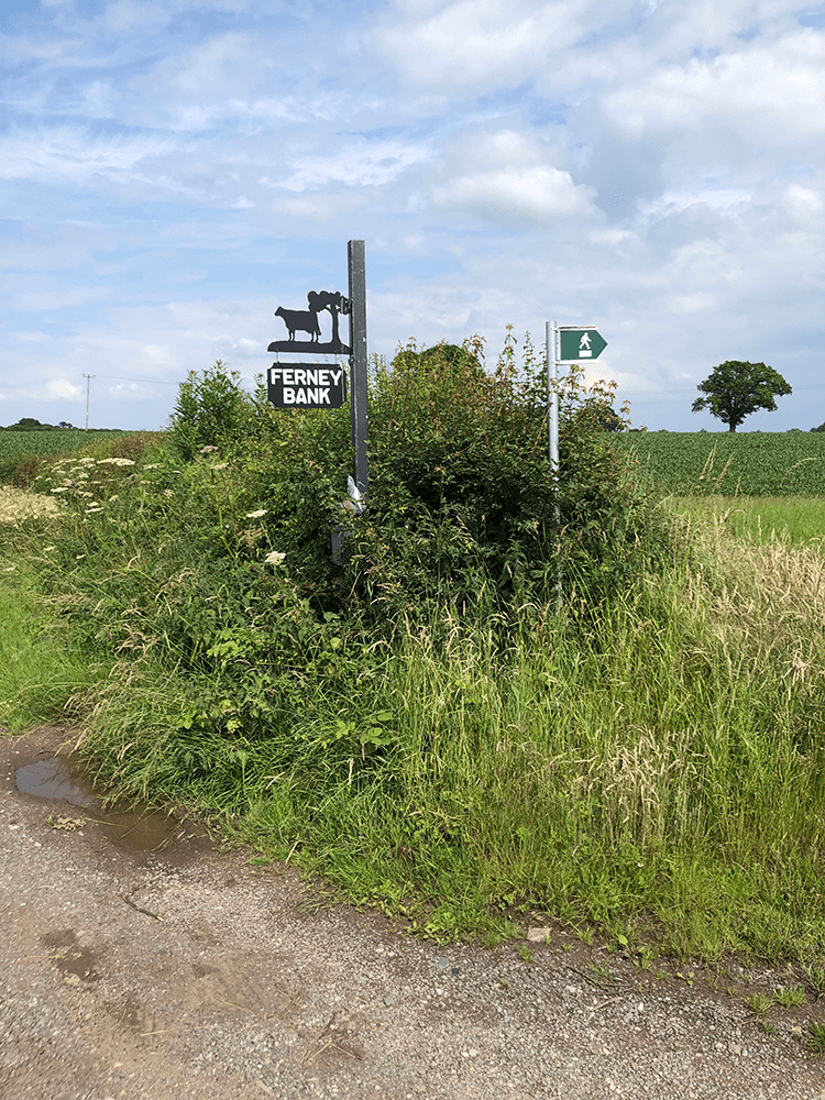
Find this in the hedge!
 J
J
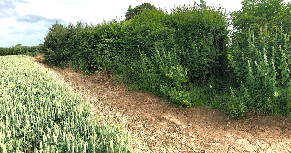
Newtown Farm
 K
K
Find this
 L
L
And down to bridge
 A
A
 B
B
 S
S
 T
T
 U
U
 V
V
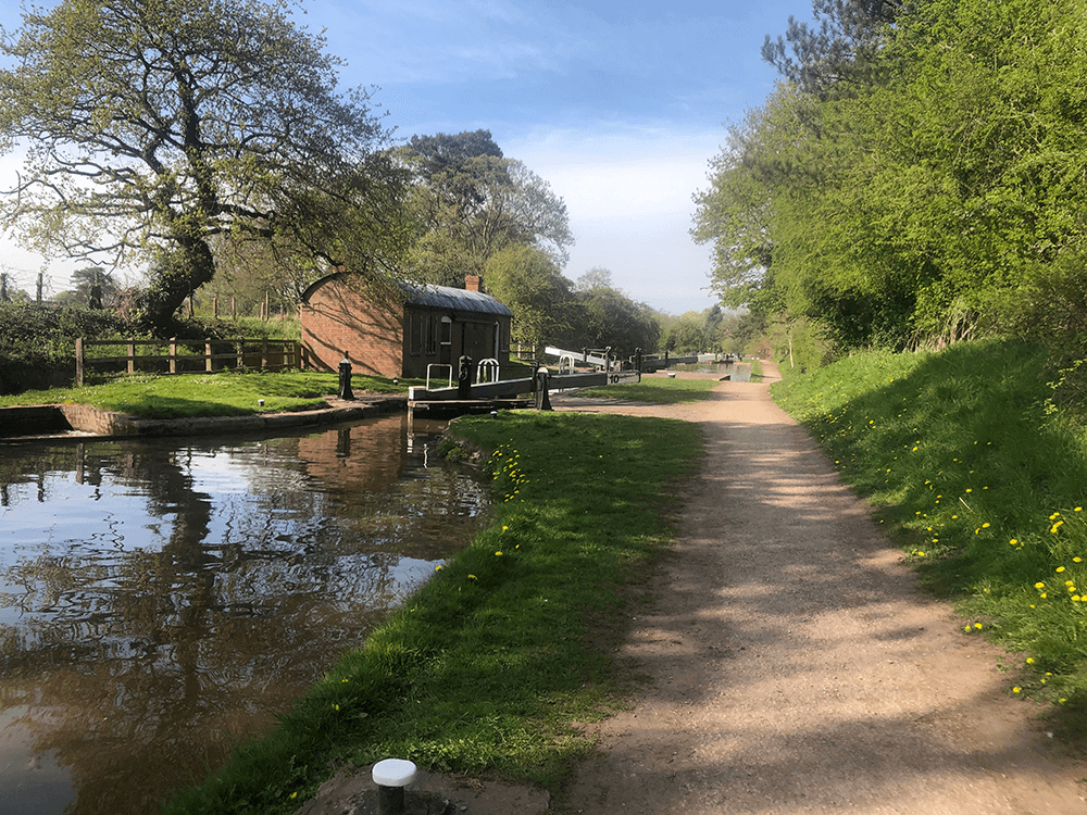
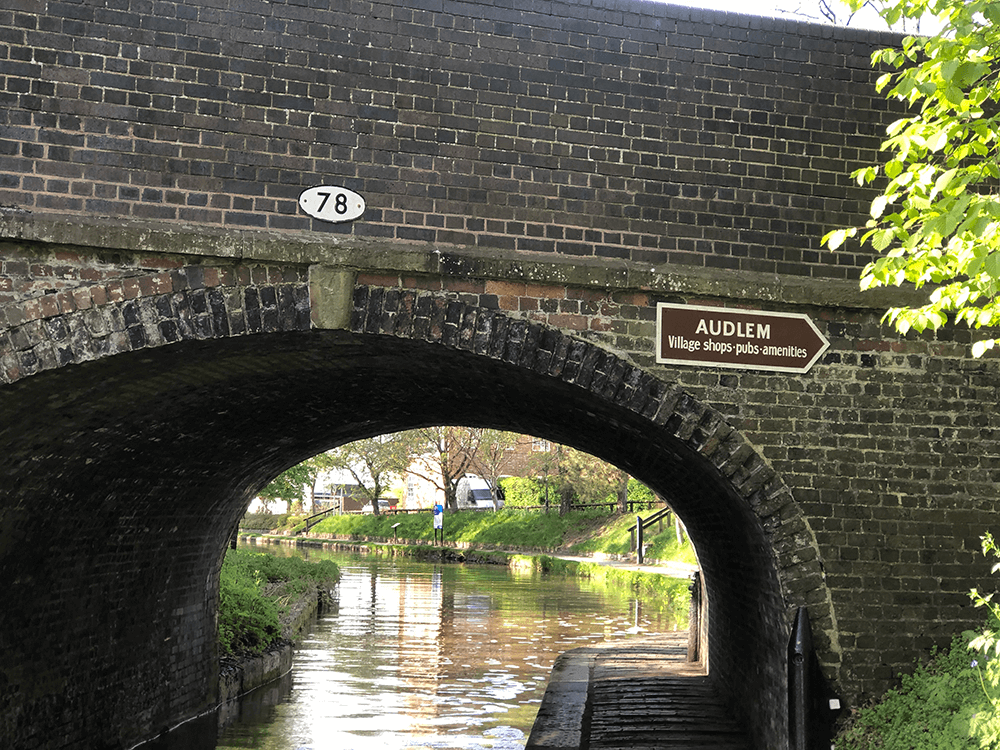
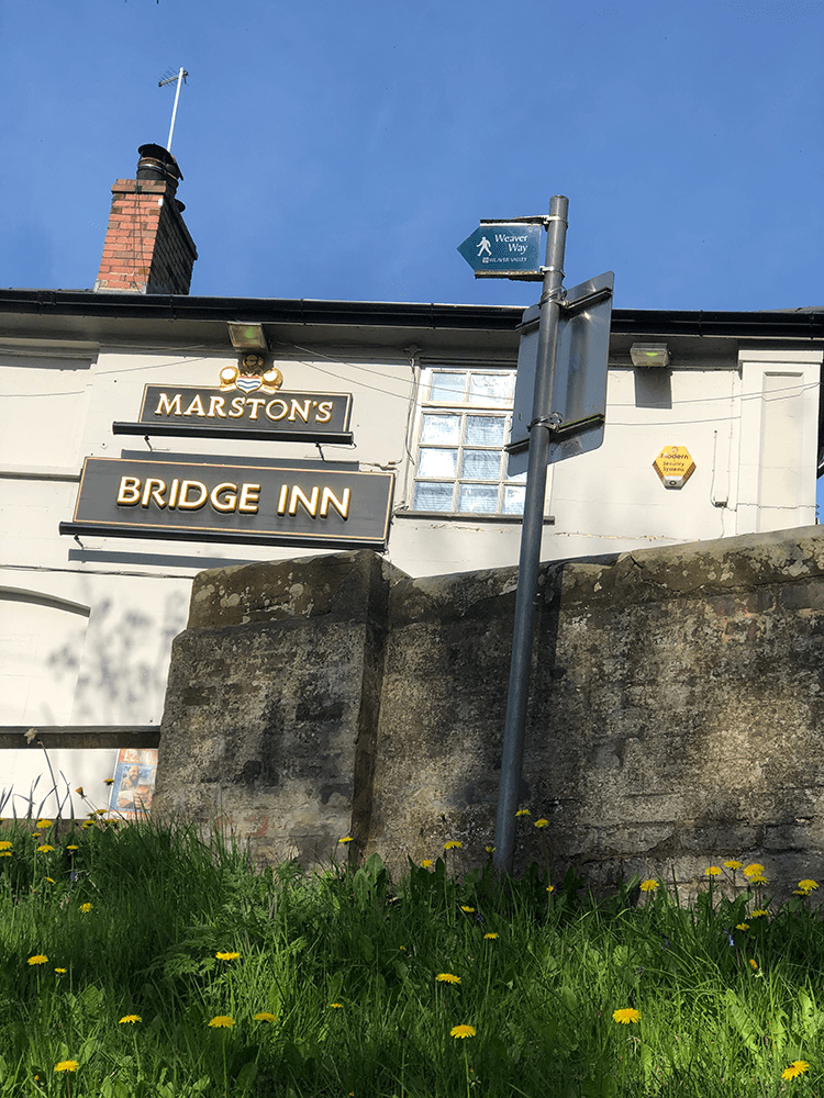
We have arrived at the Shropshire Union Canal. Once crossing bridge number 76 we drop down on to the towpath; we have arrived at the start of the Weaver Way. Frodsham here we come only 40 miles to go.
 W
W
 X
X
 Y
Y
 Z
Z